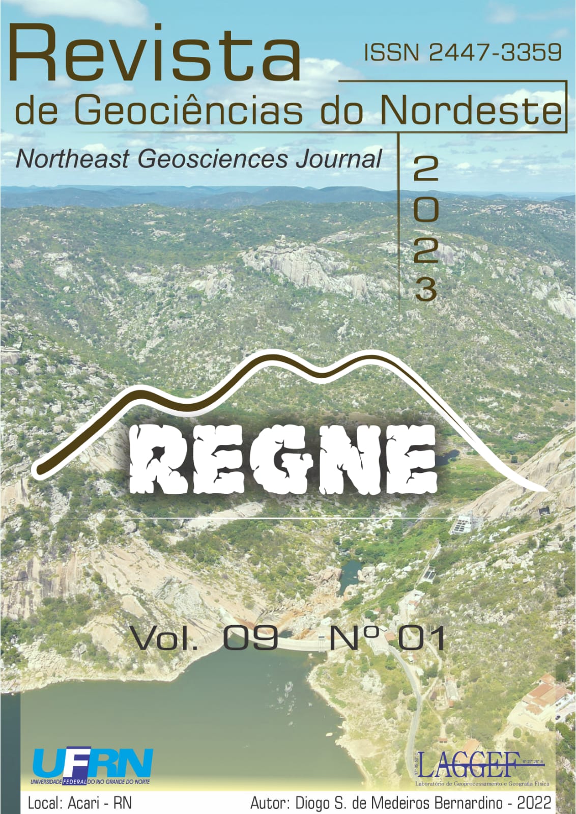
Mapeamento de Vulnerabilidade Ambiental da Sub-bacia do Rio Bodó, na região da Serra de Santana, estado do Rio Grande do Norte, Brasil

Environmental Vulnerability Mapping of the Bodó River sub-basin, in the region of Serra de Santana, Rio Grande do Norte State, Brazil

Authors

DOI:

https://doi.org/10.21680/2447-3359.2023v9n1ID31583

Abstract

The watersheds constitute a balanced natural system and are important planning units of water resources that make up the environmental systems. Considering the relevance of planning and environmental management today, this article aims to perform the mapping of environmental vulnerability of the Bodó River sub-basin, in the region of Serra de Santana, RN, with the application of algebra of maps and integrated analysis of its physical and environmental variables. For this, maps of slope, dissection index, geology, pedology and vegetation were made. These maps were weighted according to their morphodynamic stability/vulnerability, and then combined in map algebra. The map generated with the combination of these factors presented five vulnerability classes for the sub-basin in question: very weak, weak, moderate, strong and very strong. It is important to emphasize the need for studies aimed at quantifying with greater accuracy the environmental vulnerability in sub-basin areas and, in this way, to dictate the planning and environmental management of its resources with the sustainable management of its territory.

Downloads

Download data is not yet available.

Author Biographies

Raquel Cardoso de Araujo, UFRN

Master's student at GEOCERES/ UFRN - Federal University of Rio Grande do Norte - Campus CERES/CAICÓ, RN.
Bachelor in Geography from the Federal University of Rio Grande do Norte, Campus CERES-CAICÓ, RN.
Monitor in Geotechnologies - PROGRAD UFRN.
Has experience in the Geography area, with emphasis on Physical Geography and Environmental Studies. Actively participated in monitoring projects, assisting teachers in planning and carrying out activities of the components min

Daniel Dantas Moreira Gomes, University of Pernambuco (UPE/Garanhuns) and the Graduate Program in Geography at the Federal University of Rio Grande do Norte (PPGE/CCHLA/UFRN).

Bachelor in Geography (UECE) and in Computer Science (UNESA). Professor of Geosciences at the University of Pernambuco (UPE/Garanhuns). Professor of the Graduate Program in Health and Socio-Environmental Development (PPGSDS/UPE). Coordinator of the Laboratory of Geoprocessing and Environmental Modeling - LaGMA (UPE/Garanhuns), PhD in Geology from the Federal University of Ceará (PPGGeo/UFC). Post-Doctorate in Physical Geography (Cartography) from the Graduate Program in Geography at the Federal University of Ceará (PPGG/UFC). Post-Doctoral Student in Geography (Biogeography) at the Graduate Program in Geography of the Federal University of Rio Grande do Norte (PPGE/CCHLA/UFRN). Has experience in Geosciences, with emphasis on Physical Geography, acting mainly on the following themes: Cartography, Geoprocessing, Remote Sensing, Geomatics, Geostatistics, Geomorphology, Environmental Geology, Environmental Modeling and Geotechnical Mapping.

José Yure Gomes dos Santos, Federal University of Rio Grande do Norte: Caicó, RN, BR

He holds a Bachelor's Degree (2009) and a Bachelor's Degree (2010) in Geography from the Federal University of Paraíba (UFPB), Master's Degree (2011) in Urban and Environmental Engineering (concentration area in Environmental Sanitation), also from UFPB, and PhD (2015) in Civil Engineering (concentration area in Environmental Technology and Water Resources) from the Federal University of Pernambuco (UFPE). He is currently Adjunct Professor C-3 at the Federal University of Rio Grande do Norte (UFRN), Head of the Department of Geography of CERES/UFRN (DGC), permanent Professor of the Graduate Program in Geography of CERES/UFRN (GEOCERES) and collaborator of the Graduate Program in Environmental Sciences (PPGCA) of the Federal University of Western Bahia (UFOB). He works in the areas of Geotechnologies, Water Resources, Physical Geography and Hydrosedimentological Modeling.

Marcelo Martins Moura-Fé, Universidade Regional do Cariri: Crato, CE, BR

Geographer (licentiate and bachelor/UFC). Professor at the Regional University of Cariri (URCA). Professor of the academic master's degree in Geography (Geoceres/UFRN) and professor of the academic master's degree in Regional Sustainable Development (Proder/UFCA). PhD in Geography (UFC, 2015). Post-Doctorate in Geography (ProPGeo/UECE, 2022). Member of the Brazilian Geomorphology Union (UGB) and of the Brazilian Association for the Defense of Geological and Mining Heritage (AGeoBR). Funcap Productivity Fellow - BPI (2022-2024) and Coordinator of the Center for Integrated Studies in Geomorphology, Geodiversity and Heritage - NIGEP (URCA/CNPq - jul. 2017). He has experience in the area of Geosciences / Physical Geography, especially in Structural Geomorphology and Environmental Geomorphology, applied in research projects on Geodiversity, Heritage and Sustainability, developed in the states of Ceará, Pernambuco, Piauí

Published

10-06-2023

How to Cite

CARDOSO DE ARAUJO, R. .; DANTAS MOREIRA GOMES, D.; YURE GOMES DOS SANTOS, J. .; MARTINS MOURA-FÉ, M. . Mapeamento de Vulnerabilidade Ambiental da Sub-bacia do Rio Bodó, na região da Serra de Santana, estado do Rio Grande do Norte, Brasil: Environmental Vulnerability Mapping of the Bodó River sub-basin, in the region of Serra de Santana, Rio Grande do Norte State, Brazil . Notheast Geoscience Journal, [S. l.], v. 9, n. 1, p. 71–87, 2023. DOI: 10.21680/2447-3359.2023v9n1ID31583. Disponível em: https://periodicos.ufrn.br/revistadoregne/article/view/31583. Acesso em: 19 dec. 2024.

Issue

Section

Artigos